Uravan
Only a few signs remain of the buried Colorado mining town that supplied the uranium for the first atomic bomb.
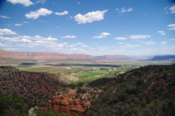
In the early 20th century, a mining boom swept through Western Colorado and Eastern Utah in search of vanadium, a valuable element used to reinforce steel. Uravan began as a single mill and quickly boomed once the U.S. Vanadium Corporation discovered rich deposits in the surrounding valley. But vanadium became overshadowed by another element found as a byproduct of its extraction: uranium, which quickly gained value as work on atomic science gripped the world in the 1930s and ’40s. “Uravan” is a portmanteau of these two elements.
Ore was mined from the hillsides of the sandstone valley and extracted minerals trucked to a mill in the center of Uravan, which developed into a town of some 700 residents with a school, family homes, a post office, and stores. While the uranium was first used for yellow dye, in the 1940s, it was sold, secretly, to the U.S. government for use in the Manhattan Project. Uravan’s miners did not know that the “yellowcake” they excavated was being developed for the most destructive weapon yet created until news of the first bomb dropped on Hiroshima made its way through the mines.
The decades that followed saw a uranium boom as the U.S. entered the Cold War, drawing workers and residents to Western Colorado. But in 1985, in part due to new nuclear energy plants and a hobbled domestic uranium industry, Uravan was officially closed. Decades of mining and milling had left radioactive tailings discarded around the valley, earning the area a designation as a hazardous Superfund Site. The town was literally built out of radioactive material: Discarded mine tailings were used as the foundation for new buildings, water lines were set through milling waste, and the locals’ favorite hillside was littered with condemned mill equipment. Residents were forced out of town as a decades-long project shredded and dismantled buildings, buried mill tailings, and removed the radioactive waste.
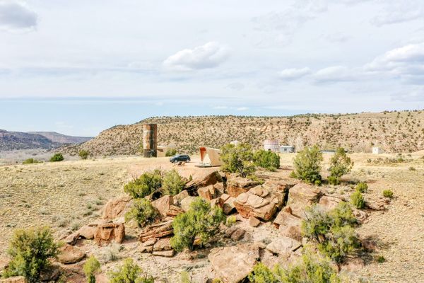
Today, buried beneath the dirt and sand, the former town of Uravan looks largely like it did before its residents ever called the radioactive valley home. All that remains is a fence warding off the overly curious, an informational sign off Highway 141, and the collective memories of the scattered residents.
Know Before You Go
Uravan is located along Highway 141, also called the Unaweep-Tabeguache Scenic Byway, and is midway between Gateway and Naturita, Colorado.
The historic sign and buried township are located along Montrose County Road V 17, a gravel road that can be accessed by following the E 22 Road turnoff near Hyroglyphic Canyon, just off of Highway 141.
Due to its federal recognition as a hazardous Superfund Site, visitors are strictly prohibited from walking the grounds or exploring the former Uravan township past the access road.







Follow us on Twitter to get the latest on the world's hidden wonders.
Like us on Facebook to get the latest on the world's hidden wonders.
Follow us on Twitter Like us on Facebook