AO Edited
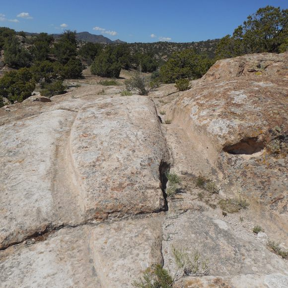
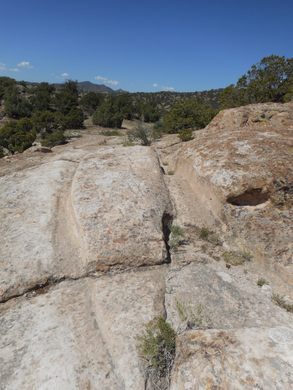
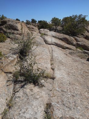
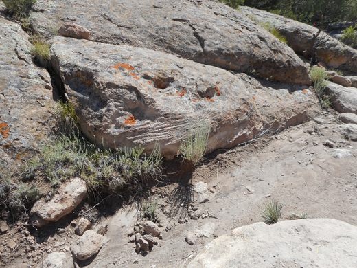
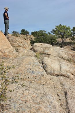
Penitente Canyon Wagon Tracks
Historic, 19th-century wagon wheel ruts cut into soft volcanic ash.

The northern branch of the Old Spanish Trail was a part of an extensive trade route established in the 1829 from the dusty provincial capital of La Villa Real de Santa Fe de San Francisco de Asis (now known as Santa Fe) in New Mexico, to the even smaller town of Pueblo de la Reina de Los Angeles in California.
Once called “the longest, crookedest, most arduous route in the history of America,” the trail was noted, used, and explored by John C. Fremont during his surveys of the west.
In the 1850s, Mexican settlers in the San Luis Valley used the same trails to trade with natives in the area and to gather and transport wood for building materials. Ox-drawn carretas (ox carts) were loaded with wood and timber and pulled across the La Garita volcanic ash deposits near Penitente Canyon to the towns of La Garita and San Luis.
Many heavily loaded carts were pulled across the soft volcanic rock over many years, cutting deep ruts that were embedded into the rock and preserved to this day. The preserved ruts in Penitente Canyon are among the best examples of historic wagon tracks in the San Luis Valley and beyond.
Know Before You Go
A short but rugged road off BLM road 40G can be driven to within about a half-mile of the tracks. Alternatively, a well-marked 1.5-mile hike from the Penitente Canyon trailhead will lead to the tracks. Another alternative is to hike 3 miles up the Penitente Canyon Loop trail.


Follow us on Twitter to get the latest on the world's hidden wonders.
Like us on Facebook to get the latest on the world's hidden wonders.
Follow us on Twitter Like us on Facebook