AO Edited
The Flume Trail
A breathtaking 19th-century trail overlooks Lake Tahoe.
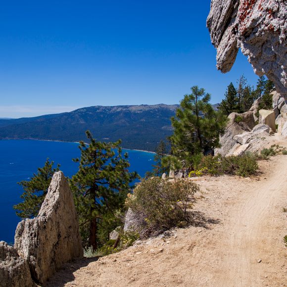
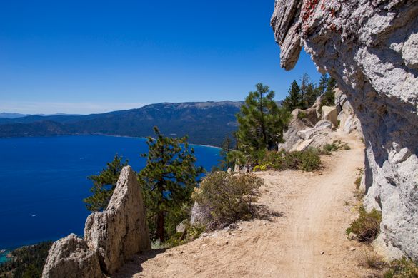
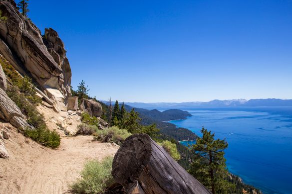
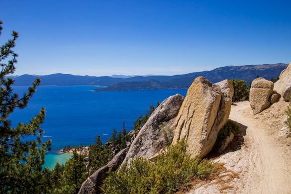
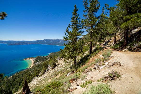
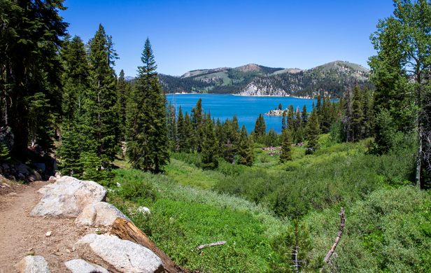

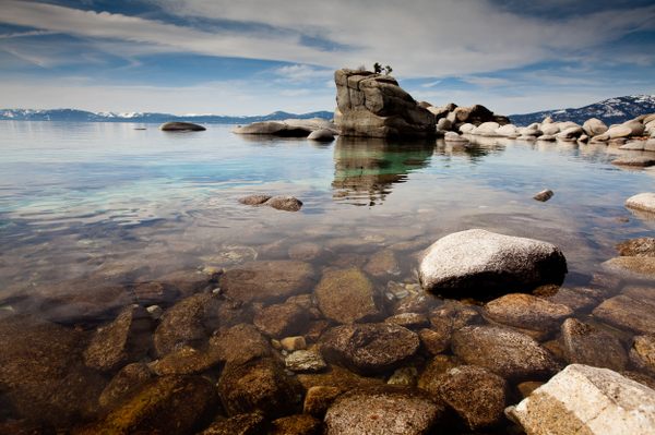
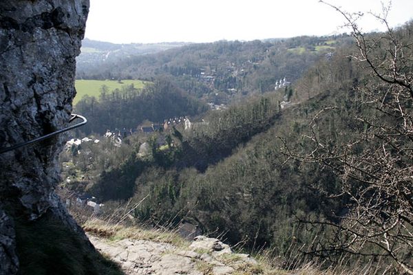
To describe the Flume Trail as breathtaking is more than hyperbole. At over 8,100 feet at its highest point, this 14-mile route can overwhelm the lungs and senses. Perched 1,600 feet above Lake Tahoe’s eastern shore, the views are like no other in the region.
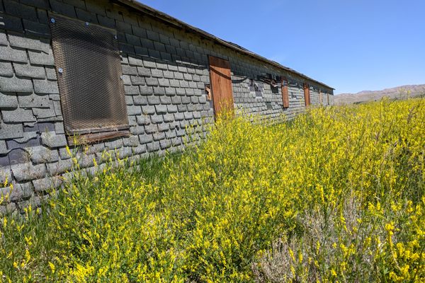
The sheer beauty of this route belies the historical, life-giving significance it once provided to the miners of the Comstock Lode. The prosperous mining district of Virginia City and Gold Hill was abundant in silver and gold ore, but it lacked potable water.
Although the water-rich Tahoe Basin is nearly 20 miles away, the differences in elevation allowed engineers to build an inverse siphon. Virginia City’s elevation is 6,100 feet. The basin which now holds the Marlette Lake reservoir resides at 8,200 feet. Under the direction of Hermann Schussler, teams of men and mules completed the system in 1873. A wooden flume carried the water to a 4,000-foot tunnel, then down through the Washoe Valley and up again to Virginia City.
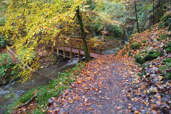
This trail was carved into the rock to carry the original water flume. The wood is long gone, but the system is still in use today. Pumps deliver water to the siphon, replacing the flumes and tunnel.
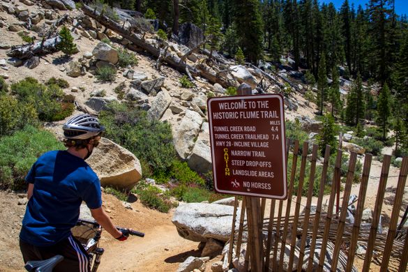
In 1983, professional mountain biker Max Jones cleared the way and reopened the Flume Trail.
Know Before You Go
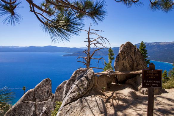
Although it's a popular mountain biking trail, hiking is allowed. Horses are not allowed.
This trail is at a high elevation. Allow plenty of time to complete the journey. Bring plenty of water, food, and sunscreen. If hiking, bring bug repellent as the mosquitos can be prolific.
The most common entrance to the trail is at Spooner Lake State Park. If traveling the entire 14 miles of the trail, a shuttle service is available on the Incline Village end of the trail to take you back to the park for a fee.
Depending on the snowpack, the trail can be closed well into late Spring and early Summer. Snowshoeing is popular at Spooner Lake.
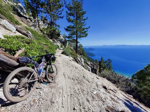
The ride for bikers is moderate-technical. There are a couple of sections that require carrying the bike.
The trail, one way, is 14 miles from Spooner Lake to Incline Village. From Spooner Lake to Marlette Summit, the road is a steep climb on a utility road. The actual Flume portion of the trail is only 4.5 miles from Marlette Lake to Tunnel Creek Road. From Tunnel Creek Road the descent begins, in thick, decomposed granite. Keep speeds low to help maintain traction.
Bike Rentals and shuttles are available in Incline Village, Tunnel Creek Cafe, and at Flume trail bikes.


Follow us on Twitter to get the latest on the world's hidden wonders.
Like us on Facebook to get the latest on the world's hidden wonders.
Follow us on Twitter Like us on Facebook