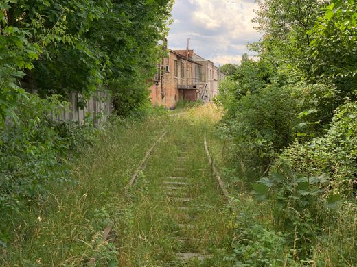
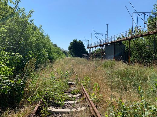
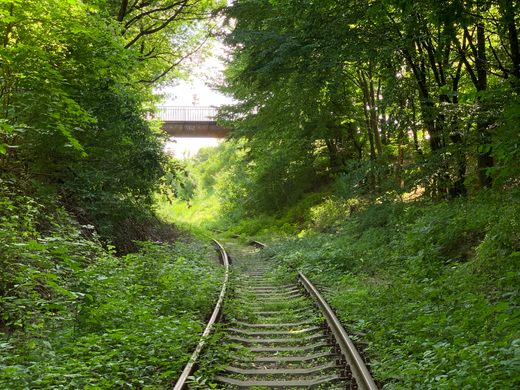
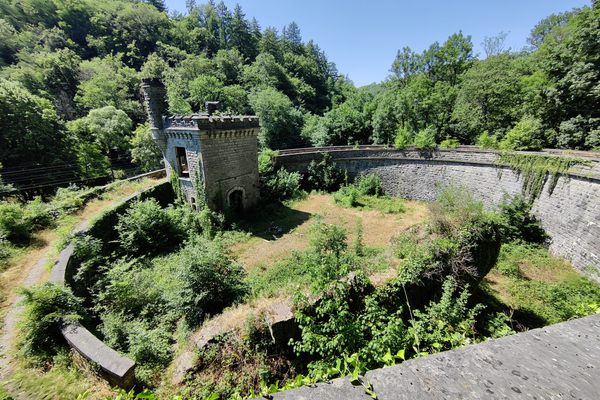
Znesinnia Park Rail Tracks
The largest park in Lviv is surrounded by a network of disused rail tracks.


This entry is a stub
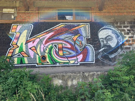
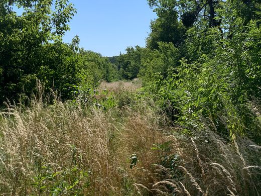
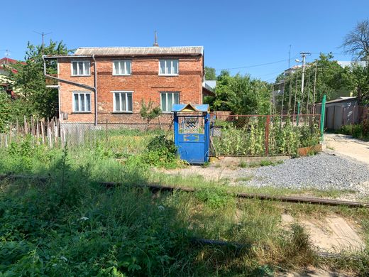
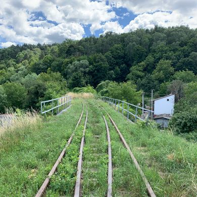
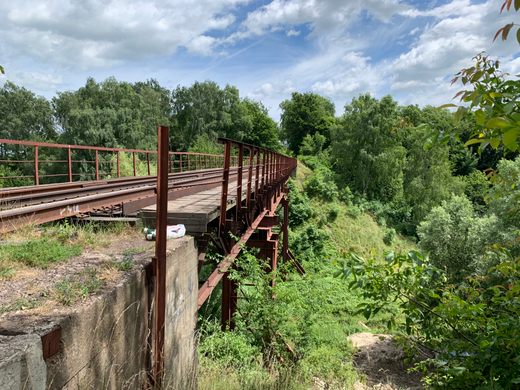
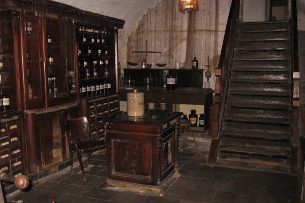
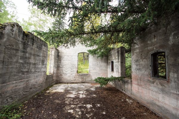
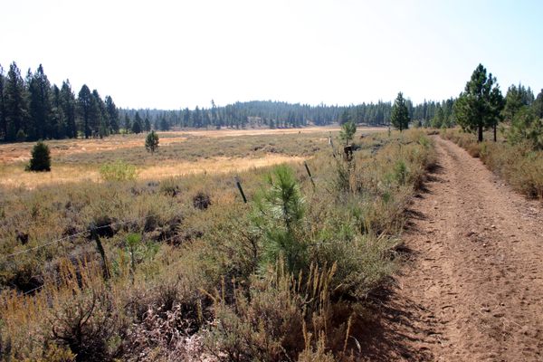
The tracks weave their way around Znesinnia Regional Landscape Park and run for more than two miles. Following them provides panoramic views of the green hills surrounding Lviv, as well as an unusual look at ordinary people’s homes and abandoned industrial buildings. All you need is a pair of good walking shoes and a willingness to plow through high grass at some places.
Know Before You Go
The abandoned train tracks of Lviv are actually visible on Google Maps. They show as a thin grey line weaving around Park Znesinnya. A good starting point is the overpass on Polova Street, which is a 45 minute walk from the city center (or a 20 minute bus ride on bus number 20 towards Severyna Nalyvaika St) . From the overpass on Polova street the abandoned tracks go east, actually running parallel to tracks that are still in use for a few hundred meters (no worries, they’re still at a safe distance). You can reach the abandoned tracks from various points, just look at Google Maps where the tracks run near a road. If you decide to walk the whole length of the tracks (and starting on Polova Street) you will end up right next to Lyckakivska Street, a couple of miles east of Rynok Square. There are bus stops at regular intervals along this street so getting back to the city center is a piece of cake.


Follow us on Twitter to get the latest on the world's hidden wonders.
Like us on Facebook to get the latest on the world's hidden wonders.
Follow us on Twitter Like us on Facebook