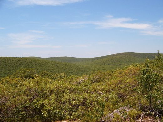
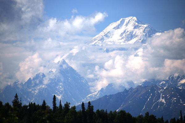
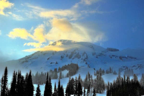
South Slope of Mount Frissell
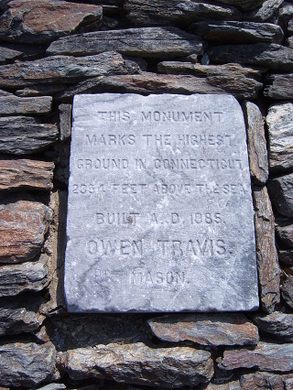
The highest point in Connecticut was incorrectly memorialized before surveyors discovered the actual spot.

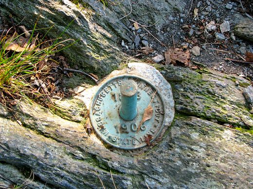


The highest point in Connecticut is on the southern shoulder of Mount Frissell which crosses the state’s northern border at 2,380 feet above sea level, but the official plaque was incorrectly placed on a different mountain.
Less than two miles away westward, Bear Mountain was originally thought to be the state’s highest point. So sure were the original surveyors that a plaque was set in and a tower built to commemorate it in 1885. And while it is the highest summit in the state, a later survey, found Bear Mountain to actually be 57 feet lower than a site on Mount Frissell. A marker known to highpointers as “The Green Stake” was placed at the point, and is still a destination for hikers.
The standard trail to the correctly-placed green stake weaves across the Connecticut-Massachusetts border and leads over the top of Round Mountain, with views of the Taconic Range along the way. Follow the red blazes in the trees to the Green Stake and the true highest ground in Connecticut.
Know Before You Go
Park at the AMC parking lot on Mount Washington Road near the Connecticut-Massachusetts border - look for an "AMC" sign in the trees. Follow the red-blazed Mount Frissell Trail for 2.4 miles to the Green Stake.


Follow us on Twitter to get the latest on the world's hidden wonders.
Like us on Facebook to get the latest on the world's hidden wonders.
Follow us on Twitter Like us on Facebook